

Baystones [Wansfell]
Good walks are even better shared.
NY4005 : Winter on the summit of Baystones
Colin Park Photo source
Overview
Baystones [Wansfell]
Overview
Nestled in the heart of the Lake District, Baystones (also known as Wansfell) stands at a respectable 482 meters. While it may not be the tallest hill in the region, it offers stunning vistas that make it a favourite among hikers.
Geology
Baystones is a fine example of the geological processes that shaped this part of Cumbria. Composed mainly of gritty sandstone and mudstone, these rocks were formed during the Permo-Triassic period. The weathered layers tell a geological story that might put any history book to shame!
The Routes
For those eager to conquer Baystones, the Wansfell Pike Route is the most popular choice, starting from Troutbeck. This 5 km trail will charm you with its mixture of woodlands and open fell, with a moderate difficulty rating, it’s perfect for the family or a playful group of friends. Be sure to keep an eye out for wildlife; you never know when a cheeky red squirrel might decide to join your adventure!
Summit Features
Reaching the summit is an accomplishment worth celebrating! Make sure to capture the moment at the trig point and cosy cairn—these stone structures have seen countless adventurers, and like a seasoned bartender, they’re always ready to lend a helping hand (or stone).
Terrain Type
Expect varied terrain on your journey: grassy lower slopes leading up to rocky outcrops as you ascend. While it’ll keep you on your toes, it’s the perfect setting to appreciate the natural beauty evolving around you.
Views
Once you reach the top, take a moment to absorb the breathtaking panorama. The sight of Windermere Lake glistening below is something to behold, especially on a bright and clear day. Spring and early autumn provide the best visibility; during this time, the colours are vibrant and the air is fresh.
Hazards
As with any outdoor activity, it’s important to be mindful of hazards. Loose rocks can be problematic, especially following rainfall, where paths may become slippery. Keep your eyes peeled for sudden weather changes too; they can turn a sunny hike into a drizzly damp squib in no time.
Nearby Summits
If you're feeling energetic and want to extend your adventure, check out nearby summits such as Wansfell Pike at 487m or the formidable High Street, standing tall at 828m. Just don't forget to pack a few extra snacks!
Access
Getting to Baystones is quite easy. You can park your vehicle at Troutbeck Village Hall, with convenient access to the trails. Alternatively, if you prefer not to drive, Stagecoach buses from Windermere can provide a scenic and relaxed journey.
Facilities
After your hike, therel are plenty of welcoming cafés and pubs in Windermere, perfect for indulging in a slice of cake or a pint—after all, you’ve earned it! There are also public toilets available for your convenience.
History
The name 'Baystones' reflects its noteworthy rocky features—these stones have stories like the vibrant locals! Historically, the fells are integral to the area's agricultural roots, rich in culture and heritage.
So lace up your boots, grab a friend, and set off for an adventure that promises stunning views and a delightful day out in the heart of the Lake District.
Explore routes near Baystones [Wansfell]
Walks starting near this hill. Open a route to check its map, distance and full itinerary.
Tarn Hows Fast Route
View route
Coniston to Tarn Hows: Monk Coniston Gardens and Woodland Circuit
View route
Bow Fell from Langdale
View route
Striding Edge, Helvellyn and Catstye Cam
View route
Route planning notes
These notes describe possible approaches. Check a route's map and access information when planning your walk.
Wansfell Pike Route
This popular route starts from the village of Troutbeck, offering a well-trodden path up through picturesque woodlands and onto the open fell.
Make a day of it, together
Find someone to share the walk with, or organise a day out along a route you like.
Photo Gallery
View all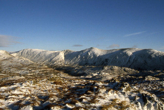 Photo could not load
NY4005 : Winter on the summit of Baystones
Colin Park
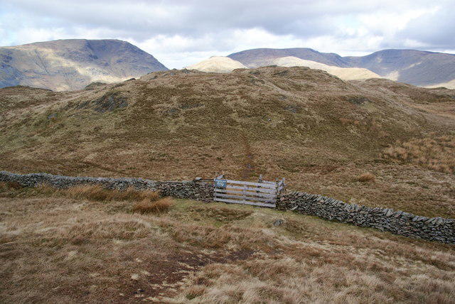 Photo could not load
NY4005 : Footpath directions on Baystones
Bill Boaden
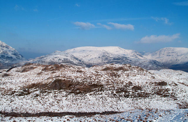 Photo could not load
NY4005 : Baystones
Trevor Littlewood
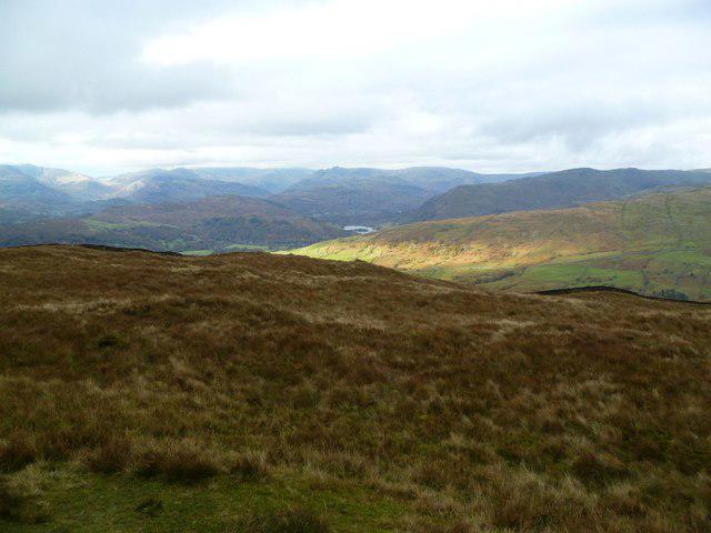 Photo could not load
NY4005 : On Baystones
Michael Graham
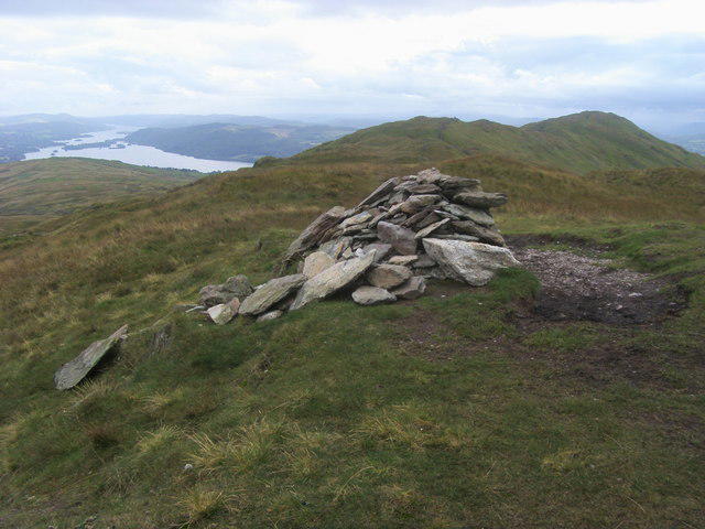 Photo could not load
NY4005 : The summit of Baystones Wansfell
Shaun Ferguson
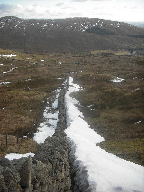 Photo could not load
NY4005 : Wall on Baystones
Michael Graham
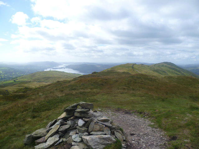 Photo could not load
NY4005 : On Wansfell
Michael Graham
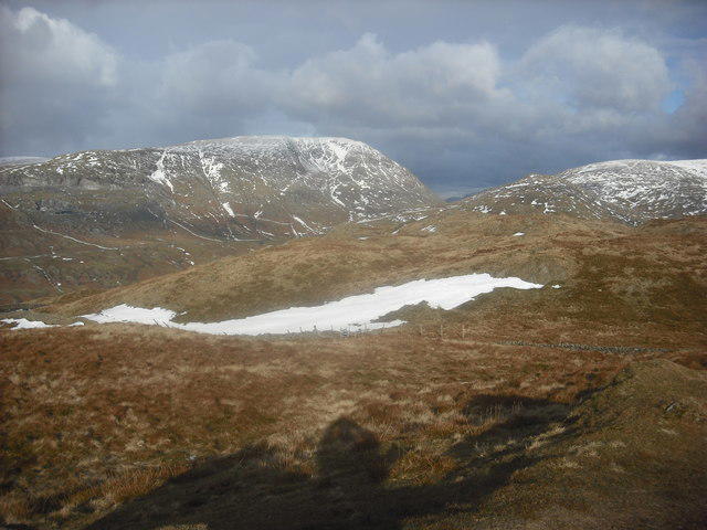 Photo could not load
NY4005 : On Baystones
Michael Graham
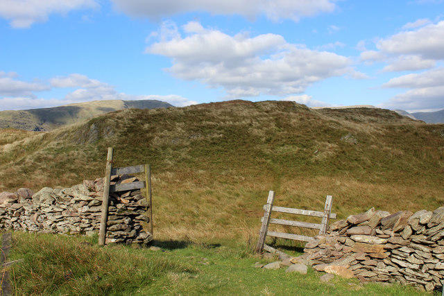 Photo could not load
NY4005 : Baystones
Chris Heaton
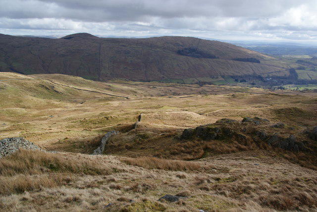
NY4005 : The east side of Baystones
Bill Boaden
Hill facts and local notes
Classifications
Elevation
487m
1,597 ft
Prominence
148m
Coordinates
54.4382, -2.9218
NY403051
OS Map
90
Explorer: OL7N
At the Summit
The summit features a prominent cairn and a stone-built trig point, perfect for the obligatory summit selfie (and a well-deserved breather!).
Terrain & Geology
The mountain is primarily composed of gritty sandstone and mudstone, remnants from the geological age that contributed to the formation of the Lake District's unique landscapes.
Views & Scenery
From the top, hikers can enjoy breathtaking views of Windermere Lake, the surrounding fells, and, on clear days, even the distant peaks of the Langdale Pikes.
History & Heritage
Name Origin
The name 'Baystones' is believed to derive from its prominent rocky outcrops ('bay stones') that stand out against the softer landscape.
Historical Significance
Historically, the fells of Wansfell and Baystones have been significant for agriculture and herding, contributing to the region's rural culture.
Getting There & Facilities
Parking
The nearest parking can be found at the Troutbeck village hall, offering convenient access to the hiking trails.
Public Transport
Stagecoach buses operate regularly from Windermere, providing a scenic route to Troutbeck.
Nearby Facilities
There are several cafés and pubs in Windermere, as well as public toilets near the centre.
Safety Information
Known Hazards
- Loose rocks on the ascent, rapidly changing weather conditions, and slippery paths following rainfall.
General Safety Tips
- Check weather conditions before setting out
- Carry appropriate clothing and equipment
- Let someone know your planned route
- Take a map, compass, and GPS device
- Carry emergency supplies: food, water, first aid kit, torch
Hills
Some common questions about the hills answered
Are there group walks up Baystones [Wansfell]?
Many walkers use Walkmates to join or organise walks with others. You can check for group walks around Baystones [Wansfell] through the maps
Are there other walkers around Baystones [Wansfell]?
Activity varies by location and time, but Walkmates lets you see whether others have shared walks or shown interest in this area. Find other people through the walking friends search walking friends for Baystones [Wansfell] search or of course create your own walk for Baystones [Wansfell]
Can I organise a walk to Baystones [Wansfell]?
Yes. If there aren’t any walks listed already, you can create a walk and make it available for others to join.
If you're signed up to Walkmates, you can create a walk to Baystones [Wansfell].
How do I find a walk up this hill?
There are often multiple ways to walk this hill, depending on experience and route preference. Walkmates helps you explore walks and routes that others have shared.
Can I suggest a new route up Baystones [Wansfell]?
Yes. You can suggest or create routes to share with others. Walkmates focuses on the social side of walking, so routes are used to help people organise walks and explore areas together, rather than as detailed navigation tools or route libraries.
Other uses really appreciate knowledgeable walkers sharing their routes. Share your favourite route to Baystones [Wansfell] here
The is an error or something incorrect about this hill. How do I let you know?
We always strive to keep the information on Walkmates as accurate as possible. If you find an error, please let us know through the contact form and we'll aim to correct it as quickly as possible
Community Discussion
Comments
Location
![Baystones [Wansfell] location map](https://cdn.walkmates.com/hill-maps/hill-sources/2607/54.43819_-2.92175.png)
Grid reference: NY403051
View on OpenStreetMapOpens a map in a new tab, centred on the hill.

No comments yet. Be the first.